Polar Explorer: Sea Level
Description:
Polar Explorer is now available for download on iTunes!
Have you ever wanted to answer questions for yourself about changes that are occurring that relate to climate? With the Polar Explorer app you can do just that. The app allows users to pose questions that take them through an individualized tour exploring the data that scientists collect presented for the everyday user in interactive maps and visualizations. Real data about the polar-regions and their connection to the rest of the world are readily available and easy to navigate.
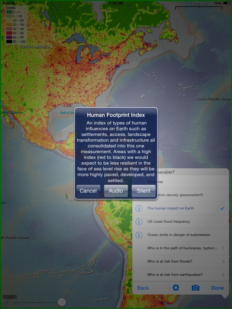
Polar Explorer’s interactive maps are loaded with data to support the most curious of travelers. Users can travel all over the world exploring how the polar regions are connected to some of climate’s biggest impacts starting with global and local sea level.
Questions help the user navigate through a range of topics, including:
- What exactly is sea level and how do we measure it?
- Why does sea level change?
- Where is it changing now?
- What was sea level in the past and what might are scientists predicting for the future?
Maps include short introductions on how to view the map, and audios with ‘a little more about the subject’. The data that is behind the maps and images is collected and updated by scientists around the world.
Annoucement:
The Polar Explorer app is available for download from iTunes. If you need support, visit polarexplorer.org.
Polar Explorer is also available online as a web-based tool.
Read more about the research behind the development of the Polar Explorer app in “Exploring the Efficacy and Engagement of a Glacial Melting Simulation,” from the Fall 2014 issue of The Earth Scientist journal.
Organization Name:
Lamont-Doherty Earth Observatory, Columbia University
Project Lead:
Margie Turrin
Key Personnel:
Bill Ryan
Robin Bell
Andrew Goodwillie
David Porter